Overview
The U.S. Army Engineer Research and Development Center (ERDC)’s Coastal and Hydraulics Laboratory (CHL) seeks solutions to sustain Uncrewed Surface Vehicle (USV) transit through the surfzone in breaking waves, currents, and coastal inlets.
Project Manager
Coastal and Hydraulics Laboratory (CHL), U.S. Army Engineer Research and Development Center (ERDC)
Project Objective
The U.S. Army ERDC seeks solutions to sustain Uncrewed Surface Vehicle (USV) transit through the surfzone in breaking waves (Hs > 1m), currents, and coastal inlets. ERDC is primarily interested in platforms and/or systems that can be used for mapping the seafloor for bathymetry and submerged hazards at a variety of cost points and fidelities.
Background and Operational Scenarios
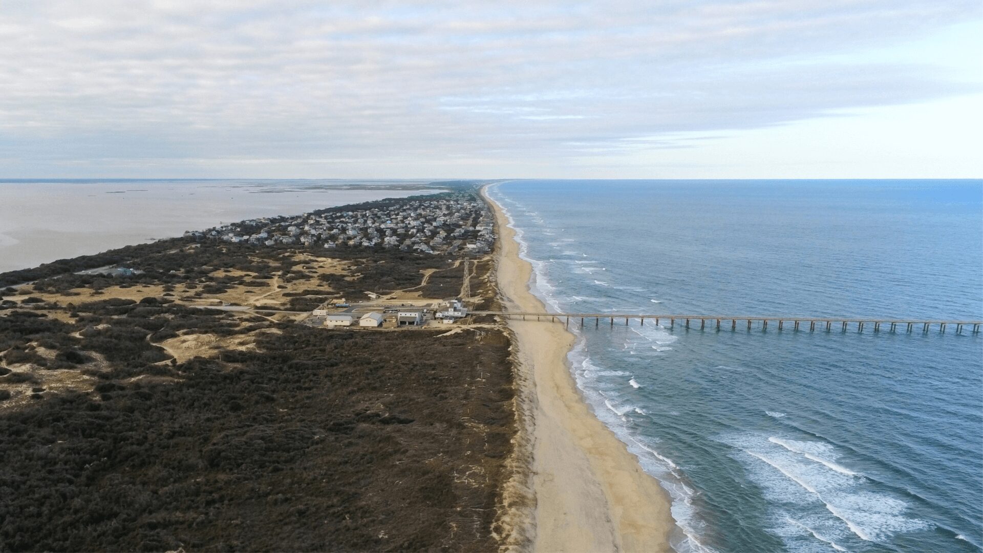
As vessels approach shore and inlets, the ability to sense hazards and bathymetry in front of the vessel allows for more confident and safer transits. This applies for typical nearshore survey applications for USACE civil works, as well as for military landings including Logistics-Over-The-Shore (LOTS) operations. During these operations, vehicles need to identify bathymetry and hazards to safely transit from offshore to on. This includes mapping the sandbar and inshore. The bubbles generated by breaking waves attenuate both acoustic and optical signals, often creating challenging environments for sensing bathymetry or hazards.
During military operations, amphibious vessels are either deployed from larger Navy Vessels (e.g., Amphibious Combat Vehicle – ACV) or travel independently (e.g., U.S. Army Maneuver Support Vessel Light/Landing Craft Utility). Vessels approach sandy coastlines at speeds less than 10 kts. To ensure vehicles touch at the appropriate location (in both cross and alongshore dimension), it’s important that the seafloor is mapped. If available, rapid, wide area sensing (e.g., forward look or imaging sonar) mounted to the front of the vessel could provide situational awareness in front of the vessel to hazards, including the sandbar. If forward subaqueous situational awareness is unavailable typical bathymetry sensors would be preferred (e.g., single beam sonar – SBES, Multi-beam Sonar – MBES, Side Scan Sonar – SSS, etc.)
For civil works applications, understanding the amount of sediment that is present in the coastal system is of upmost importance. Current coastal surveys are done with small pleasure craft or Personal Water Craft (PWCs) with single beam sonar, typically coupled to a Real-Time Kinematic (RTK) or multi-band Global Navigation Satellite System (GNSS) for Post-Processing Kinematic (PPK) positioning. New work is utilizing smaller uncrewed surface vehicles (USVs) with similar technology. In both cases, sensing enhanced for shallow water and breaking wave environments are extremely beneficial to this use case.
Of primary importance to both applications, is a platform that is survivable in breaking wave environment. This typically means self-righting capability in the event of being overturned, heavily waterproofed from water injection from the wave breaking jet, and maneuver authority to overcome currents greater than 1 meter per second (m/s) and avoid breaking waves.
Requirements
ERDC CHL invites white papers that introduce USV platforms and systems of technologies to improve the efficiency of bathymetric and hazard sensing. Target operational environments are the surfzone and inlet environments. Target systems are capable of bathymetry and hazard sensing in breaking wave heights greater than 1 m and survivable in breaking wave heights greater than 2 m. Systems should be able to run in currents greater than 3 m/s with a target of 5 m/s. Systems should be survivable in wave breaking events and include self-righting capability. Proposed solutions should focus on platforms and secondarily on sensing/perception. Proposed solutions can be an advanced idea or can build on existing technology. All potential solutions will be considered.
| Threshold | Objective | |
| Significant breaking wave heights (survivable) | 2 m | 3 m |
| Significant breaking wave height (data collection) | 1 m | 2 m |
| Operating speeds (sustained) | 6 kts | 10 kts |
| Operating speeds (sprint) | 10 kts | 20 kts |
| Operating depths of water | 30 cm | 10 cm |
| Sensing payloads | N/A | FLS, SBES, MBES, SSS |
| Interface | ICDs for new sensors, path planners, or control algorithms | UMAA compliant or full open source |
Estimated Government Funding Profile
Funding is not currently available for this project. Resources may be allocated in FY26 for demonstrations at the ERDC Field Research Facility (FRF) in Duck, NC.
Estimated Period of Performance
The period of performance may extend up to September 30, 2026.
Expected Result
Phase I: ERDC gains an understanding of the market, assesses the applicability of new and existing solutions for nearshore/surfzone USVs with acoustic sensing. ERDC also ascertains the experience and capability of the submitting parties. Down-selected parties will be considered for virtual presentation to present/discuss capability with senior leaders & stakeholders.
Phase II: ERDC may opt to host a one-week demonstration of proposed vehicle/sensing solutions in a live surfzone environment in Duck, NC. Target scenarios include breaking waves around 1 m, but may vary based on available conditions during target experimentation week. Results will be validated against ground truth.
Phase III: If funding is available, the most promising technology may be selected for follow on testing.
Evaluation Criteria
Submissions will be evaluated based on the following criteria:
- Technical Merit – Feasibility and applicability of proposed solution
- Cost/Schedule – Preparedness and appropriateness of cost and schedule details cited
- Business Viability – Organizational capacity, years in operation, relevant specialties, and capabilities
- Prototype/Demo – Technology Readiness Level (TRL) and availability of this solution for demonstration
Submissions must be formatted as prescribed in the white paper template. Submissions should not include confidential or proprietary details. Submissions will be reviewed by ERDC/government subject matter experts and may be shared as appropriate with other ERDC parties.
Notional Project Schedule
Proposed project milestones include:
| August 18, 2025 | Project Announced, Submissions Open |
| September 15, 2025 | Question Period Ends, FAQ Document Finalized |
| September 19, 2025 | Submissions Close (Deadline Extended) |
| October 10, 2025 | ERDC Conducts Reviews; ERDCWERX Facilitates Virtual Pitches, if needed |
| November 2025 | Downselected Vendors Notified |
| FY 2026 (TBD) | Potential Demonstration of Proposed Solutions |
*If needed; dates may vary to accommodate project team and participant availability.
How to Participate
- Submit specific details by providing a white paper (download template)
- Review FAQs
- Once white paper is ready to submit, complete the submission form
Questions: Please send all technical and administrative questions using this form. Q&A will be updated periodically. It is the responsibility of the offeror to review Q&A prior to submitting.