
Overview
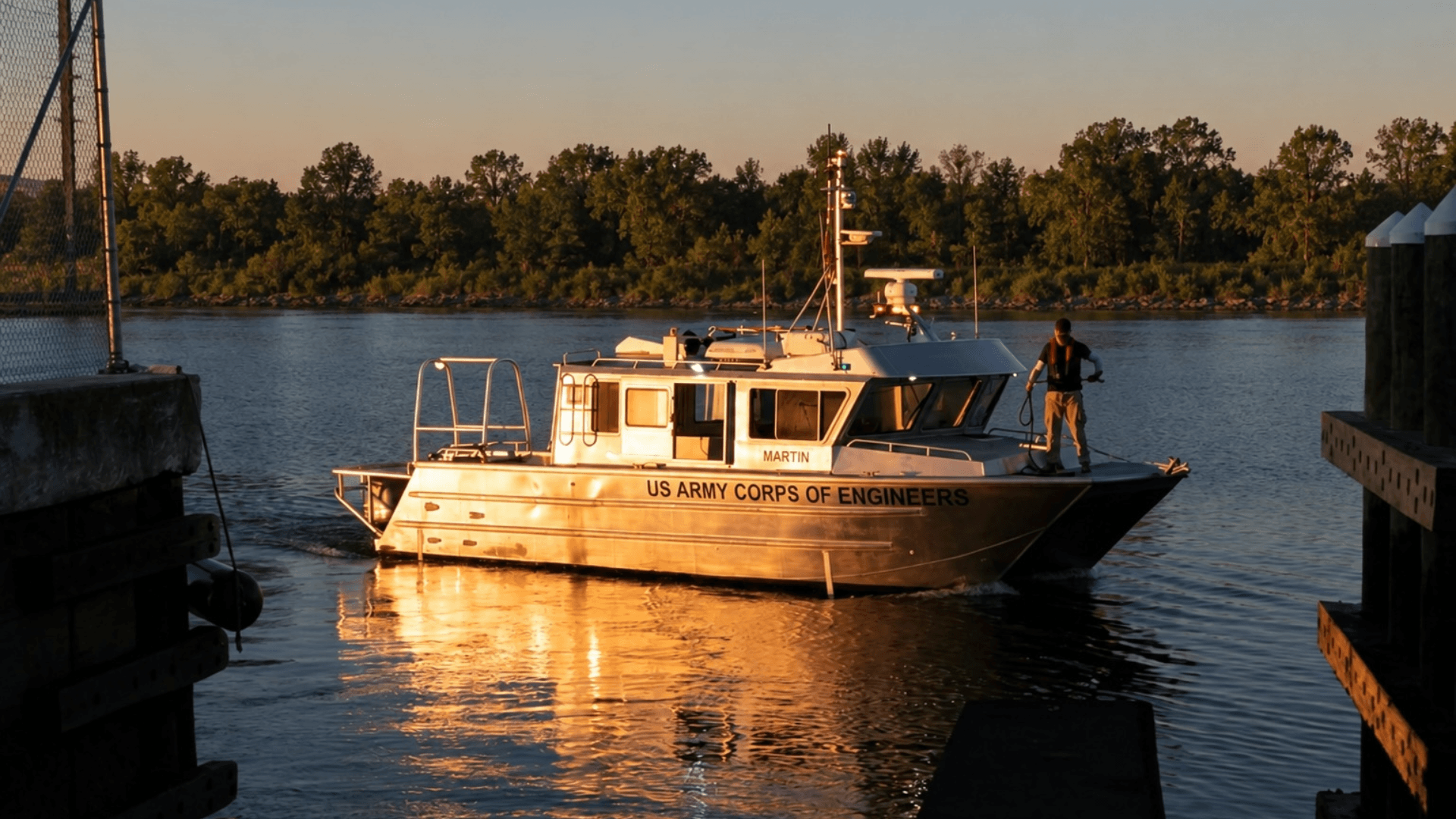
The U.S. Army Corps of Engineers (USACE) Navigation HQ (HQUSACE Navigation) and Engineer Research and Development Center (ERDC) seek to identify, evaluate, and demonstrate industry survey technologies at federal coastal and inland navigation projects across various geographic locations, turbidity levels, and sea states. This effort aims to establish clear operational limits and force-multiplier viability to support USACE navigation channel survey requirements.
Project Objective
This project aims to evaluate innovative, industry-led surveying solutions (sensors, data collection tools, and platforms for emplacement) capable of delivering high-resolution bathymetric data. By benchmarking emerging technologies against traditional “ground truth” datasets, the HQUSACE Navigation, Hydrographic Survey Community of Practice, and ERDC will establish operational limits and document force-multiplying configurations where autonomous systems can operate alongside crewed assets.
Project Manager
HQUSACE Navigation and ERDC in support of the U.S. Army Corps of Engineers (USACE)
Background and Operational Scenarios
USACE is responsible for maintaining 25,000 miles of coastal and inland federal navigation channels, demanding precise and frequent hydrographic surveys. To ground-truth vendor capabilities under realistic, high-stress conditions, physical field testing in Phase 3 will be executed across at least two distinct operational environments:
- Scenario A (Inland Waterway): Characterized by a highly turbid, high-current river channel to evaluate platform stability and sensor performance in low-visibility water columns. Location to be determined.
- Scenario B (Coastal/Inlet): Characterized by a high-energy wave environment with active commercial and recreational navigation traffic to assess maneuverability, data resolution under active wave motion, and regulatory compliance. Location to be determined.
Requirements
Participants are invited to submit white papers outlining solutions for autonomous, semi-autonomous, and remote hydrographic surveying. USACE seeks integrated mission team solutions that deliver across one of two technical areas:
- Autonomous/Semi-Autonomous Survey Vessels (ASVs): Solutions must be presented as a package of modular sensors, collectors, and the platform for operational employment able to demonstrate potential for increasing total federal navigation channel coverage and operating as a force-multiplier alongside crewed vessels. The requirement is not simply to provide robots or sensors, but to deliver coherent, interoperable, and rapidly deployable robotic sensing systems, with open and documented payload and platform interfaces that can be assessed and transitioned to operational use to improved decision advantage USACE. Desired solutions should combine:
- Semi to Full Autonomous platform
- Hydrographic and/or bathymetric sensors and data collection tools which can be tasked remotely and have data streamed via modern communications architecture
- Safety architecture
- Open interfaces (API, RPC, etc.) for integration and consumption
- Compatibility with multiple C2 platforms of the Army’s choosing
- Satellite-Derived (SDB), Publicly Available Information (PAI), Commercially Available Information (CAI), & Crowd-Sourced Bathymetry (CSB): Proposed methodologies must demonstrate utility for broad, low-cost regional reconnaissance and early-warning shoaling detection and the interfaces necessary to leverage Army directed software platforms for decision making. Desired solutions should:
- Provide access to data from external sensors via open and documented interfaces (APIs, etc.)
- Demonstrate portability of data into Army designated decision support tools
Proposed solutions should fully describe the following:
- Technical Performance: System accuracy, data processing/post-processing latency, deployment footprint, and regulatory compliance (including collision avoidance and maritime safety protocols).
- Operational Suitability: Performance advantages or disadvantages relative to traditional crewed vessels across various sea states, currents, and turbidities.
- Technology Readiness Level (TRL): Identification of current TRL (TRL 5 or earlier, requiring substantial research/development; TRL 6–7, minor modifications needed; TRL 8–9, ready for immediate operational deployment).
- Operational Boundaries: System limitations, barriers, dependencies, and challenges regarding scalability, mobilization speed, battery/fuel endurance, and data telemetry.
Estimated Government Funding Profile
The anticipated funding profile for the complete multi-phase initiative is structured as follows:
- Phase 1 (Capability Statements): White papers outline solution listed in the requirements section along with technology readiness description. Funding is not provided.
- Phase 2 (Workshop): Participation in the workshop can be virtual or in-person. Funding is not provided.
- Phase 3 (Operational Field Demonstrations):
- Prize award for successful completion of field demonstration: authorized an aggregate prize purse not to exceed $300,000 (the “Phase 3 Total Allocation”) for distribution as determined by the evaluation panel. The individual prize award disbursed to each individual participant shall be contingent upon and directly proportional to the total number of participants who successfully achieve final Phase 3 completion criteria as determined by the evaluation panel. Distribution of prize awards follow the complete execution of all required demonstration activities within the designated operational performance period; full submission of all requisite field test data, demonstration reports (prizes for advanced technology achievements 10 USC 4025).
Estimated Period of Performance
From point of selection to participation in Phase 3 operational field demonstrations, using a three-phase framework packaged under a single announcement, with Phase 2 operating as a down-select from Phase 1 and Phase 3 operating as a down-select from Phase 2 (see notional project schedule)
Expected Result
Phase 1 (Capability Statements):
The government will use a standardized scorecard to down-select to advance to a two-day technical hybrid workshop at ERDCWERX in Vicksburg, MS. Prior successful deployment of systems and operational readiness are useful as weighting criteria. Responses which are ready for immediate field assessment are preferred.
Phase 2 (Workshop):
USACE and other federal agency agencies with an interest will gain an understanding of the market and assess the applicability of existing solutions. Participants in this two-day workshop will be required to present their technology capabilities in an open, public forum with USACE and other government subject matter experts. Because these presentations are public, participants must not disclose any proprietary, sensitive, or unpublicized information. By applying to participate, your organization acknowledges and agrees that all presented materials will enter the public domain and that the government assumes no liability for the disclosure of shared data.
This two-day workshop will include:
- Scenario-Based Capability: Develop the capability table and regions for survey that includes industry technologies that support USACE operational survey requirements
- Evaluation of technical gaps and barriers, as well as identification of approaches to rapidly overcome them through research, development, testing, or evaluation
- Identify scope and scale of any potential future actions
Day 1 of the workshop will map individual capabilities against the USACE Capability Table; Day 2 will focus on use-case scenarios and implementation hurdles.
Phase 3 (Operational Field Demonstrations):
- Field Testing: Physical field testing of selected platforms (demonstration participants, split between Scenario A and Scenario B)
- Data Verification: Compare vendor data against a baseline “ground truth” dataset collected via traditional crewed vessels to evaluate resolution, collection speed, and post-processing complexity. Required data reports from vendors.
Evaluation Criteria
Submissions will be competitively evaluated based on technical merit, operational viability, and innovation. Success will be measured against the following key metrics:
- Technical merits: Evaluation of platform accuracy, minimal data processing latency, transportable deployment footprints, improvement of spatial and temporal survey data coverage, and compliance with maritime regulations
- Technology Readiness Level (TRL)
- Submitter’s business viability, relevant expertise, organizational capacity, capabilities
- National scalability and feasibility (e.g., Manufacturing Readiness Level)
- Advantages over other current documented methods and tools
Submissions may be shared as appropriate with other government stakeholders. The government has the authority to decline all submitted proposals.
Notional Project Schedule
Proposed project milestones include:
| October 22, 2026 | Project Announced, Submissions Open |
| November 9, 2026 | Question Period Ends |
| November 23, 2026 | Submissions Close |
| November 23-30, 2026 | Review Period, Virtual Pitch Hosted (if needed) |
| December 1, 2026 | Downselected Offerors Notified of Potential Next Steps |
| December 2026 | Workshop Hosted for Downselected Offerors |
| March/April 2027 | Operational Field Demonstrations Completed |
*Dates may vary to accommodate the project team and participant availability. The government may accelerate the pre-proposal review/feedback timeline, and therefore also require earlier delivery of full proposals.
Project Security Classification
Unclassified
How to Participate
- Submit specific details by providing a white paper (download template)
- Review FAQs
- Once solution is ready to submit, complete the submission form
Questions: Please send all technical and administrative questions using this form. Q&A will be updated periodically. It is the responsibility of the offeror to review Q&A prior to submitting.